
Will The Biggest Storm In History Hit The Gulf Coast?
As you stepped outside this morning, no doubt you noticed that the air is much cooler. Yesterday's storm brought a cool front to the Ark-La-Tex and that's very good news. It's the main reason that meteorologists believe the season's new hurricane will not move into the Gulf Of Mexico.
As the temporary shelters close in Shreveport and Alexandria for refugees from Hurricane Harvey, another even more potentially damaging storm is churning its way toward Florida--and it's a monster.
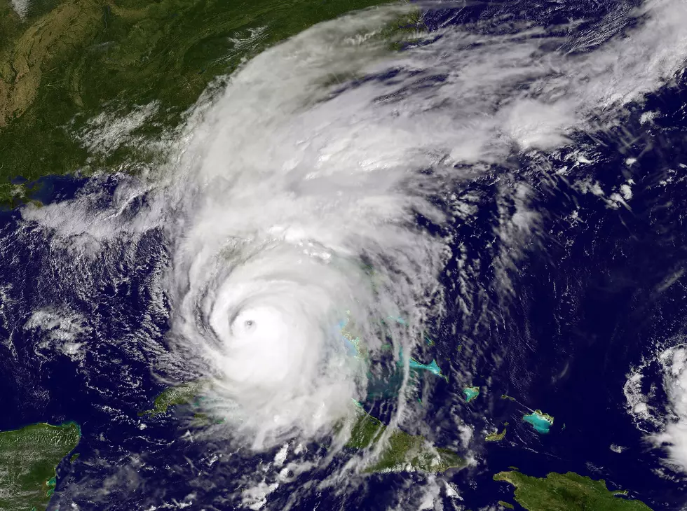
Harvey will almost certainly become the most economically costly storm in history, but its not the biggest storm ever recorded. That distinction now belongs to this new behemoth in the Caribbean and its name is Irma.
The intensity of tropical cyclones is measured by wind velocity and barometric pressure. Barometric pressure is basically the weight of the air, and the lower the measurement the worse the storm. When its pressure was last recorded, Irma was at 916 millibars which is the lowest on record. Irma is tied for 2nd in wind velocity, with highest sustained winds clocked at 185 mph. Only Hurricane Allen had higher wind speeds at 190 mph.
So why is the cold front we mentioned such good news for the Gulf Coast? The cooler air mass over the Gulf States will most likely cause Irma to make a sharp turn to the north somewhere just south of Florida. Unfortunately for the Sunshine State, the most likely scenario has Irma making landfall near its southern tip sometime on Sunday, and then heading due north.
But the National Hurricane Center (NHC) warns there can be significant errors in projected paths for tropical cyclones when you track their potential movements 4 to 5 days out. Average errors are between 175 and 225 miles, which can make a large difference in impacts.
The NHC says that there is still a chance that Irma can continue westward into the Gulf, but our unusual late summer cold front has made that occurrence unlikely.
More From Highway 98.9


![Flying Into The Eye Of Hurricane Irma [Video]](http://townsquare.media/site/183/files/2014/05/Hurricane-Hunter.jpg?w=980&q=75)
